People

Kupe Muanenguba County
The indigenous people of Kupe Muanenguba are made up of the following tribes: the Bakossi, the Balong, the Bassosi, and the Mbo. According to history, all of them share the same ancestors as descendants of Ngoe, who was married to Sumediang. They had seven sons and lived in Mwekan, in the western part of the Muanenguba Mountains. They all speak the Bantu language. At one time, a supernatural being warned the couple that a flood was coming and told them to make a box in which to escape; they built an ark, taking in their family and all kinds of animals, and survived the flood. The ark came to rest between the twin lakes of Mwanenguba, one of which is said to have a female character and the other male, the different clans that makes up Kupe Muanenguba claim descent from different children and grandchildren of this couple.
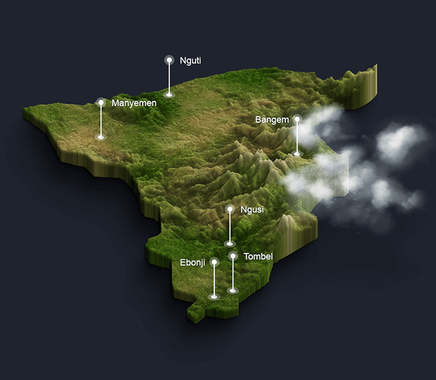
The people of Kupe Muanenguba county constitute three local government areas; Bangem Local Government Area, Nguti Local Government Area and Tombel Local Government Area. Each of this local government area is constituted by many clans as can be seen below.The capital or administrative of the County is Bangem.
LOCAL GOVERNMENT
Kupe Muanenguba is a county of Equatorial Region of Ambazonia. The county covers an area of 3,404 km² and in 2001 had a total population of 123,011. Kupe Muanenguba county is the Federal Republic of Ambazonia´s 5th largest county in size, the smallest in population and has the second lowest population density of the fourteen counties in the country. With the onset of the economic crisis in the 1990s and the fall in the prices of agricultural produce on the world market, many youths left the villages. It is, therefore, not surprising today to find some quasi-ghost villages in Kupe Muanenguba land. The rural exodus has left most of the villages with an ageing population making Kupe Muanenguba one of the least populated of the Equatorial States.
The capital of the county lies at Bangem. The Kupe Muanenguba County is divided administratively into 3 subdivisions and in turn into villages
- Bangem
- Consists of Ninety–three (93) towns/villages belonging to Eight clans
- Bangem
- Bajoh
- Nninong
- Muambong
- Nhia
- Elung
- Ebamut
- Muatan clans
- Consists of Ninety–three (93) towns/villages belonging to Eight clans
- Tombel
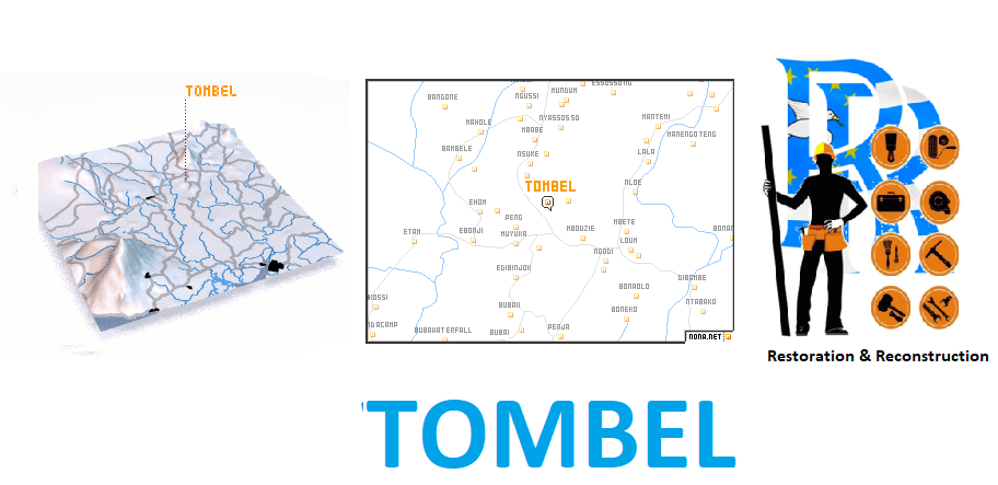
- The are 72 towns/villages within Tombel Local Government Area with the following five main towns:
- Tombel town
- Nyasoso
- Ebonji
- Etam
- Ngusi
- Nyandon
- The are 72 towns/villages within Tombel Local Government Area with the following five main towns:
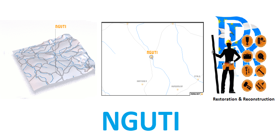
- Nguti
- There are 74 towns/villages and four main clans in the Nguti Local Government Area. These include
- The Upper Balong
- The Mbo
- There are 74 towns/villages and four main clans in the Nguti Local Government Area. These include
-
-
- The Basossi
- The Bakossi
- Of these 74 towns/villages in the Nguti LGA
- 26 are the Mbo
- Of the remaining 28 villlages; the Upper Balongs (8 villages)
- The Basossis (11 villages)
- The Bakossis (9 villages)
- These ethnic groups are further divided into Nine (9) clans. These include:[1] The Upper Balong; [2] The Bebum; [3] The Basossi; [4] The Ngemengoe; [5] The Aboh Agoe ; [6] The lower mbo, [7] The Bangue; [8] the Nkongho Mbeng; [9] The Upper Nkongho.
-
RELIEF
The altitude ranges from 200 to 2,396 meters above sea level. The area has two outstanding mountains, namely, Mount Kupe (2,050meters) and Mount Muanenguba (2,396 meters). These mountains are of volcanic origin. In fact, they are extinct volcanoes. The slopes of these mountains are made up of mainly fertile volcanic soils, which are good for the cultivation of a wide range of crops, and sustain a high dense tropical forest rich in both flora and fauna.
Generally, the Kupe Muanenguba County is of low gradient, punctuated with a few ridges and hills, whose valleys had been deepened by run-off. The three local government areas are drained by a few rivers, with River Mungo being the biggest and longest. There are a number of crater lakes, including the Muanenguba twin lakes and, Lake Bermin, which are a very significant tourist attraction.
CLIMATE AND VEGETATION
The Kupe Muanenguba County, like most areas in the country, has two distinct seasons: the dry season, which runs from November to March, and the rainy season, which stretches from April to October. The rainfall is high, with a yearly average of about 3,000 mm, spread over an average of over 150 rainy days. The maximum temperature is about 30oC and the Minimum is about 10oC on the slopes of Mount Kupe and up in the tiwn lakes of Muanenguba. The climate is warm in the lower altitude areas of Tombel and some parts of Bangem, while in the Nguti part, Manyemen and Nguti is warm. Mbetta, Elumba Court Yard are cold and Manyemen and Nguti are warmer. In high-altitude areas such as Nyasoso in Tombel local government area and most of Bangem local government down to Ekanjoh Bajoh and in Nguti local government area, Mbetta, Elumba Court Yard are generally cold. These climatic variations create a favourable environment for growing a wide range of crops and rearing almost all types of domestic animals.
The Kupe Muanenguba County is dominated by dense equatorial forest. There is still a large amount of virgin forest mostly on the slopes of Mount Kupe in Tombel LGA, and the Bajoh clan in Bangem LGA and the Mbo clan in the Nguti LGA. Most of the forests are protected as reserves, such as the Mount Kupe, Etam and Ekanjo Bajoh–Epen and the Mbayang Mbo forest reserves.
Some parts of the forests have been transformed into industrial plantations and small-scale farms. The Cameroon Development Corporation (CDC) of operates the biggest agricultural plantation complex in the area, occupying vast expanses of land. There is extensive timber exploitation from these forests by logging companies. As a result, a timber processing company was established in Etam, but it was recently moved to La République du Cameroun. Despite the intensive logging, Kupe Muanenguba County still has a huge potential for timber exploitation.
RESOURCES
Mineral resources identified in this county include eight sand quarries, two stones quarries, six poozzolana quarries, one pool paint and two local mineral water sources and iron ore. World renowned Panja Pepper has gain a growing presence as a cash crop along the volcanic flanks of Mt. Kupe Muanenguba. Due to the favourable climatic conditions and the very fertile soils, the region can support a wide range of crops, domestic animals and birds.
Food crops: Some of the food crops cultivated in the area are plantains, cocoyams, maize, sweet yams, cassava, pepper, okra, beans and bananas. This region is the highest producer of plantains in the country and the Mille 20 Market in Tombel LGA the biggest plantain market in the central African region. Other crops that do well in the region but are not widely cultivated are potatoes, egusi, and upland rice. Vegetable is very rudimentary.
Export crops: The following cash crops are grown: cocoa, coffee, oil palm, rubber, and tea. The Bajoh clan is the highest producer of cocoa in the Bangem LGA while Ngusi and Ebonji areas are the highest in Tombel LGA and Nogomadeba, Badun , Mungo Ndoi and Babubock areas are the highest in the Nguti Sub Division. With regards to coffee production, the Nninong clan and Elung clan are the highest. Other export crops with production potential are green beans and strawberry and fruits such as mangoes, guava, cola nuts and avocado.
Livestock Rearing: There is small-scale rearing of pigs, goats, sheep, cows, horses and poultry, mainly as a form of family savings and for ceremonies. Commercial enterprises are non-existent except in the case of the Mbororo who rear cows for money in the Muanenguba Mountain region. The native population stopped rearing cattle, in particular the short-horned species known locally as the “muturu”. Increasingly, the culture of rearing goats and sheep is dying out, as people now farm close to their homes, and the local population is not equipped with alternative skills for rearing animals, not least of which is the complementary relationship between food crop production and animal rearing.
The development of agriculture and livestock is hampered by a number of difficulties, including a poor and largely impracticable road network, low prices of agricultural produce, small farm sizes, lack of agricultural inputs and improved seedlings, substantial post-harvest losses, lack of storage and processing facilities, ageing farms and farming population, and poor farming practices.
Kupe Muanenguba County can be termed as anecotourism cornucopia because of her richness in floral and faunal biodiversity, juxtaposed with beautiful terrain and world-famous Twin lakes that adds a wonderful appeal to the cultural mix
Lastly, the BakossiNational Park covers a surface area of more than 29,320 ha and straddles the three local government areas of the county. It is the only National Park in the Ambazonia Highlands Forests Ecoregion. Forest Reserves are found in all the three LGA and encompasses the largest cloud forest in West-Central Africa.
Koupe Manengouba-slideShow
ECONOMY
Kupe Muanenguba falls within the spatial economic belt of Ambazonian coast. Overall, it ranks in the lower-third in terms of its economic contribution to the Ambazonia Economy (similar to Menchum).
Small-holder agriculture is the principal form of economic activity, with cacao as a dominant cash-crop occupying 50% of the agricultural land under cultivation. This is at the expense of food crop production; a category in which Kupe Muanenguba ranks second lowest in the country in tonnage production
The performance of the local economy is heavily hampered by poor basic infrastructure. Although rich in eco-tourism potential, this sector too remains largely underdeveloped due, also, to poor infrastructure.
Since the closure of the timber plant at Etam that processed wood to some extent, Kupe Muanenguba land does not boast of a single industry anymore apart of the CDC and the newly cultivated palm oil plantation in Betock in the Nguti LGA. Kupe Muanenguba County is the highest producers of cocoa in Ambazonia Economy and second in the production of Timber. The performance of the local economy is heavily hampered by poor basic infrastructure. Although rich in eco-tourism potential, this sector too remains largely underdeveloped due to poor infrastructure.
Dangote Cement has acquired rights to exploit quarries in Kupe Muanenguba, joining the CDC, SAFA (Timber), Telcar (Cocoa), MTN (Telecoms) which dominate the private sector industrial economy, with local saving and loan banks and many corporative unions.


